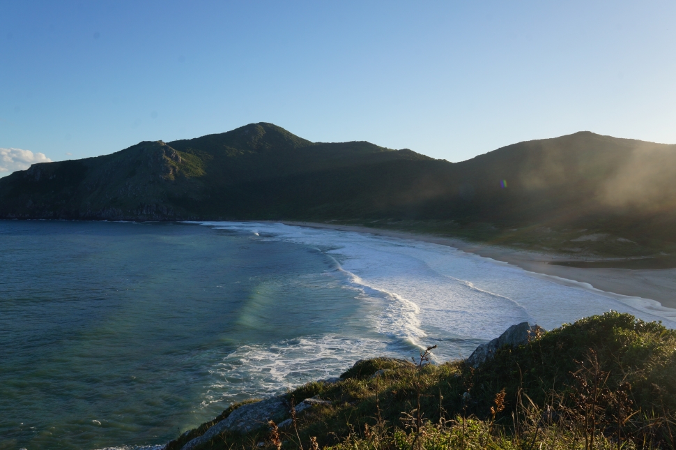
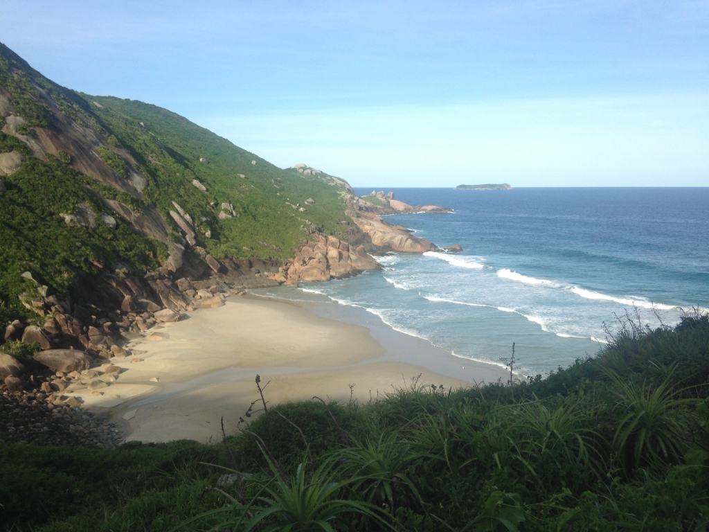
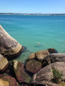
Florianópolis, Brazil is far from being a household name in the US, which is quite a surprise when one witnesses the incredible beauty this paradaisical island has to offer. Most Americans, if they make the long trip to Brazil at all, visit Rio or Iguaçu Falls and leave it at that.
For many Argentines and southern Brazilians, however, Florianópolis is the go-to spot for a beach holiday. And with 42 beaches, each with a different setting and character, there’s a lot to choose from in that regard.
But for me, the real highlight of this incredible island was hitting the trails rather than the lounge chairs. Coastal cliffs overlooking golden-sand beaches, with rainforest covered mountains and giant lagoons beyond make Florianópolis (aka Floripa) an excellent place to go hiking. Although the whole island is riven with trails, signage and other helpful locational information is hard to come by, especially if your Portuguese isn’t up to snuff. So I’m going to give a brief overview of some of my favorite trails, especially the less obvious ones.
First, a little primer on Florianópolis itself. It’s a city, the capital of the southern Brazilian state of Santa Catarina. The city consists of the entire island of Santa Catarina, which is a large island close enough to the mainland Brazil coast to be connected by a bridge at one point. However, this island may as well be named Floripa too, because I never heard anyone call it Santa Catarina, probably because the state has the same name.
Within Florianopolis, there are different “districts” that are really more like separate towns. The biggest, most urban of these is “Centro”, closest to the mainland and connected by the bridge. Other districts, like Lagoa da Conceição, Barra da Lagoa, and Pântano do Sul are closer to the beaches and trails I’m about to describe, and a lot more fun in general than Centro.
A few more notes before we get started: I highly recommend you get the Maps.me app for your smartphone, and download the South Brazil map package. These maps are so detailed that most of the trails I’ve described here are plotted on the map. There’s no need to have wifi or phone service to access your map, yet your phone will still track itself through GPS, making it a perfect way to see where to get off the bus, or find your location on the trail.
Also, to find your bus, go here. In general, bus service is slow across the island and there are often many connections to make, especially the farther you go. Allow much more time than you’d think. To use the website above, try to find the name of the neighborhood you’re headed to and see if it matches the name of a line. A link to a map is on each line’s page so you can be sure where it goes. And if you happen to have a car or motorcycle instead, you’re doing Floripa right.
Rainforest Viewpoint over Lagoa de Conceição
If you’re visiting Florianópolis, the centrally located town of Lagoa de Conceição and its namesake lake will almost certainly be part of your itinerary. It’s the most tourist-centric spot on the island, with the greatest selection accommodation and food options, as well as being a very scenic place, buffeted by Floripa’s tallest mountains, a sand dune desert, and a vast lagoon. On the switchbacked road between Lagoa and Centro, there’s a “mirante” (viewpoint) to look back on the town, lake, and the ocean beyond. But to get an even better view, continue up the mountain to a hang gliding ramp in the middle of the rainforest.
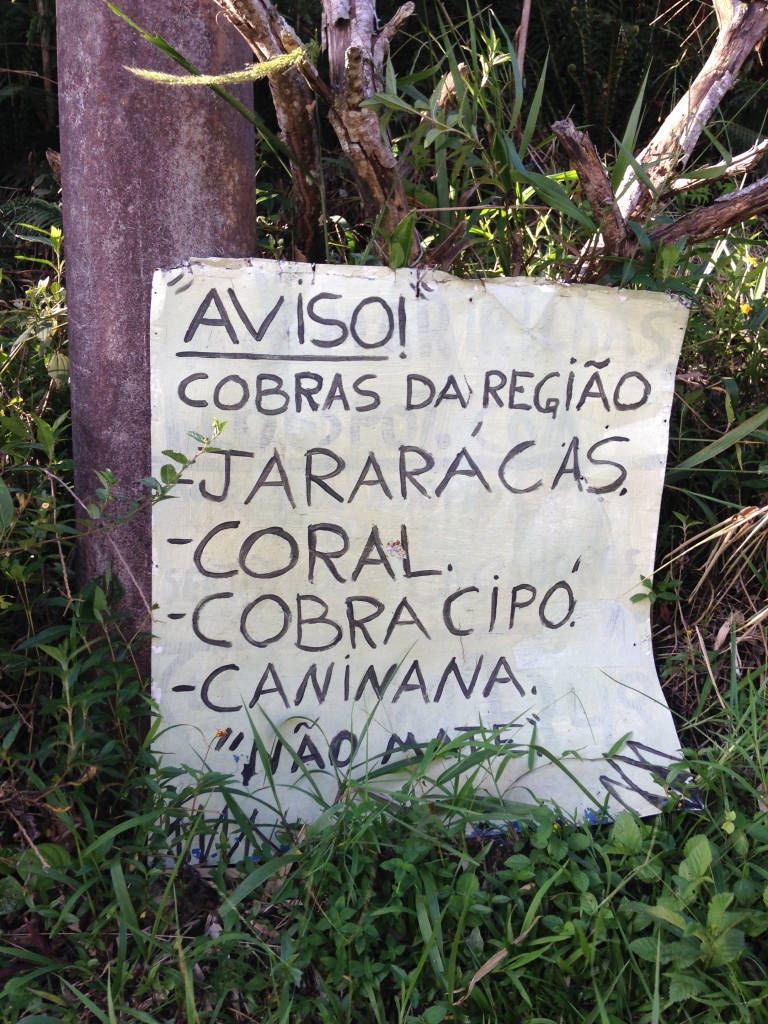
How? First, catch any bus going from Lagoa’s bus station (TILAG) to Centro (TICEN). Get off at the stop just after the mirante (marker 1 on the map). Take a right at Estr. Sertão do Assopro, and start walking up the steep road, which will eventually even out a bit and turn to dirt. WATCH OUT FOR DOGS! This is an omnipresent problem in Latin America, but it bears repeating. I think these cachorros were all bark and no bite, but a few from an unfenced yard were getting a bit close – I merely picked up a rock and they scattered.
After perhaps a mile, a trail will appear on the right leading deeper into the forest. Follow it. If you miss the turn, don’t worry – the road straight ahead becomes private property, and some dogs will helpfully let you know to turn around!
It’s also at this junction that I saw some monkeys leaping in the canopy above!
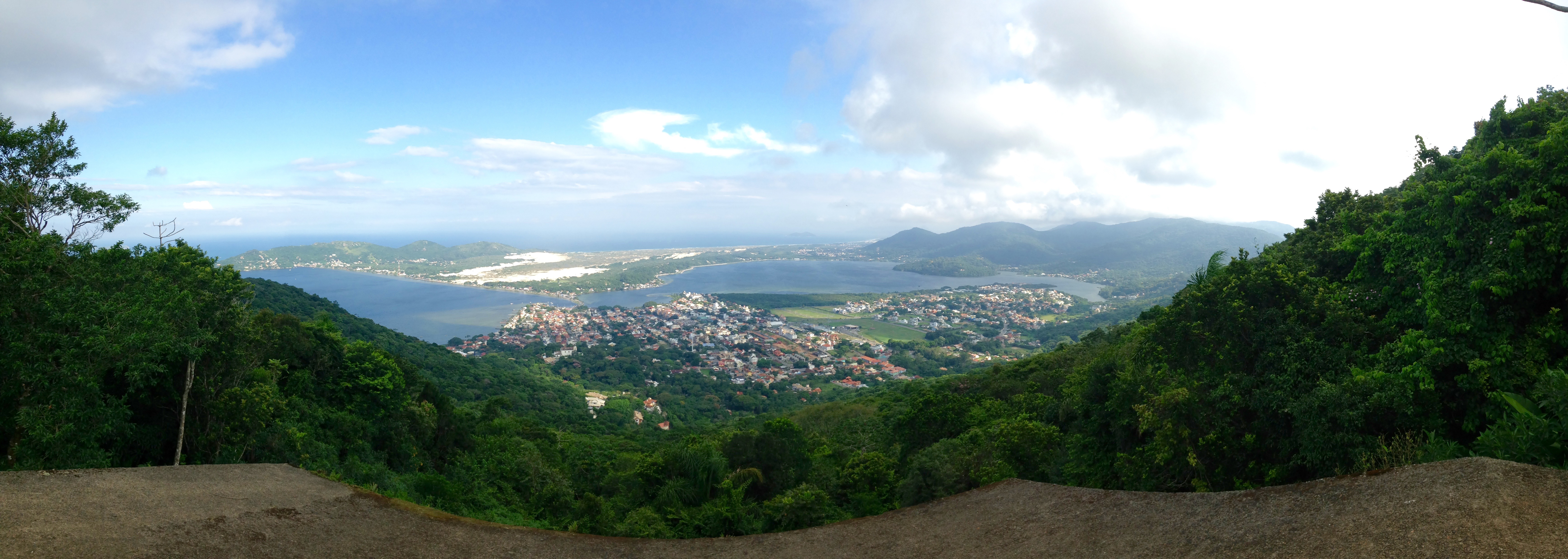
It won’t be long (half or two-thirds of a mile) before the trail forks again. A muddy, narrow path goes to the left and steeply up. I believe this trail may go all the way across the mountains to the west coast of the island, though I didn’t find out. Turn right and it’s only about fifty meters or so to the viewpoint (marker 2), a rather dilapidated looking hang gliding ramp in the middle of a clearing, which offers the best views of the Lagoa region you’re likely to get.
Lagoa de Conceição
For a much easier (and easier to find) trail in the Lagoa area, just walk north along the lakeshore from the Lagoa de Conceição until the street (R. João Henrique Gonçalves) turns into a trail (marker 14). There are restaurants and such along the way – a great place to sip a cold Brahma while you watch the lake turn a pastel orange at sunset. And the best part – there are water taxis that take you back to Lagoa so you don’t have to walk!
Lagoinha do Leste
This secluded beach (marker 3), accessible only by foot, reminded me more of California or Hawaii than anywhere else on the island. It’s a must for anyone who wants to see the Floripa before the days of mass tourism.
There’s two trails leading to the beach – if you don’t have a car to come back to (the one time this is a good thing on Floripa) you may enter one trail and exit the other, catching the bus on the other side. The easiest way is from Praia de Matadeiro, accessible from the southern town of Armação. Walk to the east end of the town beach and wade across the river at marker 4. (side note: if you turn left at the river crossing and follow the walkway, on the left side of the headland you’re walking to is a dock. Catch a ferry here to the tropicalesque Ilha de Campeche (marker 13), just offshore)
Once you’re on Matadeiro, just walk to the south end of the beach and there’s the trail to Lagoinha (marker 5). It takes about an hour and a half, through rainforest and meadow-covered cliffs. At the other end of the beach is the trail out, taking only an hour but over steeper terrain. You will then find yourself in the little town of Pântano do Sul.
Gurita Trail Waterfall
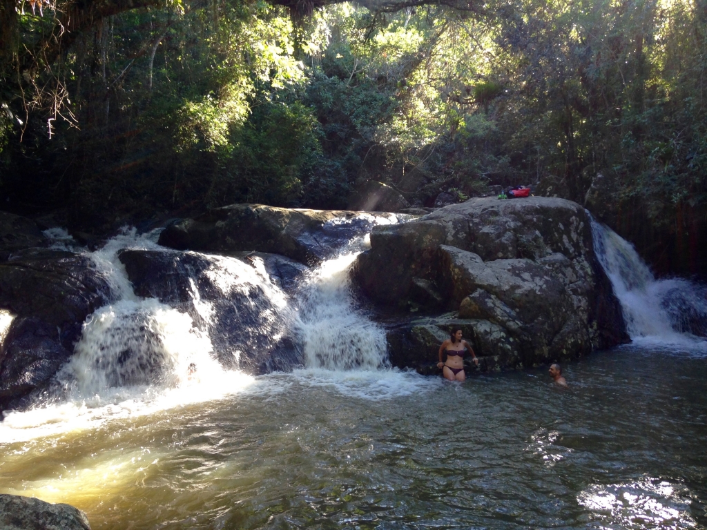
Tired of the beach but ready to cool off anyway? How does a waterfall with a natural pool sound? To find the trail, hop on a southbound bus from Rio Tavares station, or on any bus heading north from Armação (it’s also within walking distance of town). Get off at R. Euclides João Alves (marker 6) and walk west on this street towards placid Lagoa do Peri. Take a left at the lake, and follow the trail along the shore until it goes deep into the rainforest. It takes about an hour or so to get to the falls. Walking through humid jungle will get you ready to dive into the crisp water. Protip: go within a few days of heavy rain for a stronger falls and deeper pool!
Trilha Barra-Galheta
This one’s popular enough to be on GoogleMaps! It goes from the beach town of Barra da Lagoa to Floripa’s very own nude beach (!) Praia Galheta (marker 7). Two-thirds of the way to Galheta is an incredible viewpoint, the best on the island, with 270° views of Galheta on one side, the vast expanse of Lagoa da Conceição in the middle, all the way to Barra da Lagoa and Praia Moçambique on the right.
From Barra, first cross the bridge from “downtown” over the river (no fording necessary here). On the other side, turn right (left will take you to the Piscinas Naturais, a cool hangout with huge boulders jutting out into the ocean (marker 15)) and follow the narrow footpath until you see the “Trilha” on your left. Down this street, there’s another sign for the trail (marker 8). It’s possible to walk the opposite way, from Galheta, but this end of the trail is behind the dunes and very hard to find.
Morro das Aranhas
Or, as I like to call it, “Spider Mountain” (marker 9). Coming from Lagoa, be prepared for a long bus ride. You’ll need to first get to TICAN, the northernmost bus station, and then catch a bus to Santinho (marker 10). As at Matadeiro, just walk to the south end of the beach to get to the trail, which goes to Moçambique, the longest stretch of beach on the island (and a long way from anything). The side trail up the Morro is to your right. Great vistas all around at the top, and true to its name, a spider crawled up my ankle while I was enjoying the view!
The morro at the north end of Santinho Beach also has a few trails that go about halfway up, with great views of the beach the whole way since this hill is treeless.
Secret Beach
I’m not sure this one is even in the official beach count of 42 beaches. It’s not named on any map. Which is crazy, because it’s beautiful, secluded, and easy to get to from Lagoa de Conceição. Essentially, it’s a mini-Lagoinha do Leste. To get there, go all the way down Rendeiras, swing a right, then walk a few blocks and turn left at the surf shop (Casa de Surf, marker 11). I think. It could also be the street after that. You’ll know you’re on the right street if it ends at a trailhead, which you can use to hike over the ridge and onto the beach (marker 12).
Ilha do Campeche (marker 13)
Not a trail, but definitely worth checking out. This popular island is a short ferry ride from Ponta das Campanhas (walk east to get there from marker 4) or Praia do Campeche. Its beach is protected from heavy surf and is the most classically “tropical” beach in the whole region, with crystal blue water. You will be sharing it with plenty of other daytrippers though!
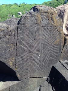
Take a guided walking tour to the windward side of the island to check out some pre-Columbian petroglyphs on the rocks.
Boa viagem!
